


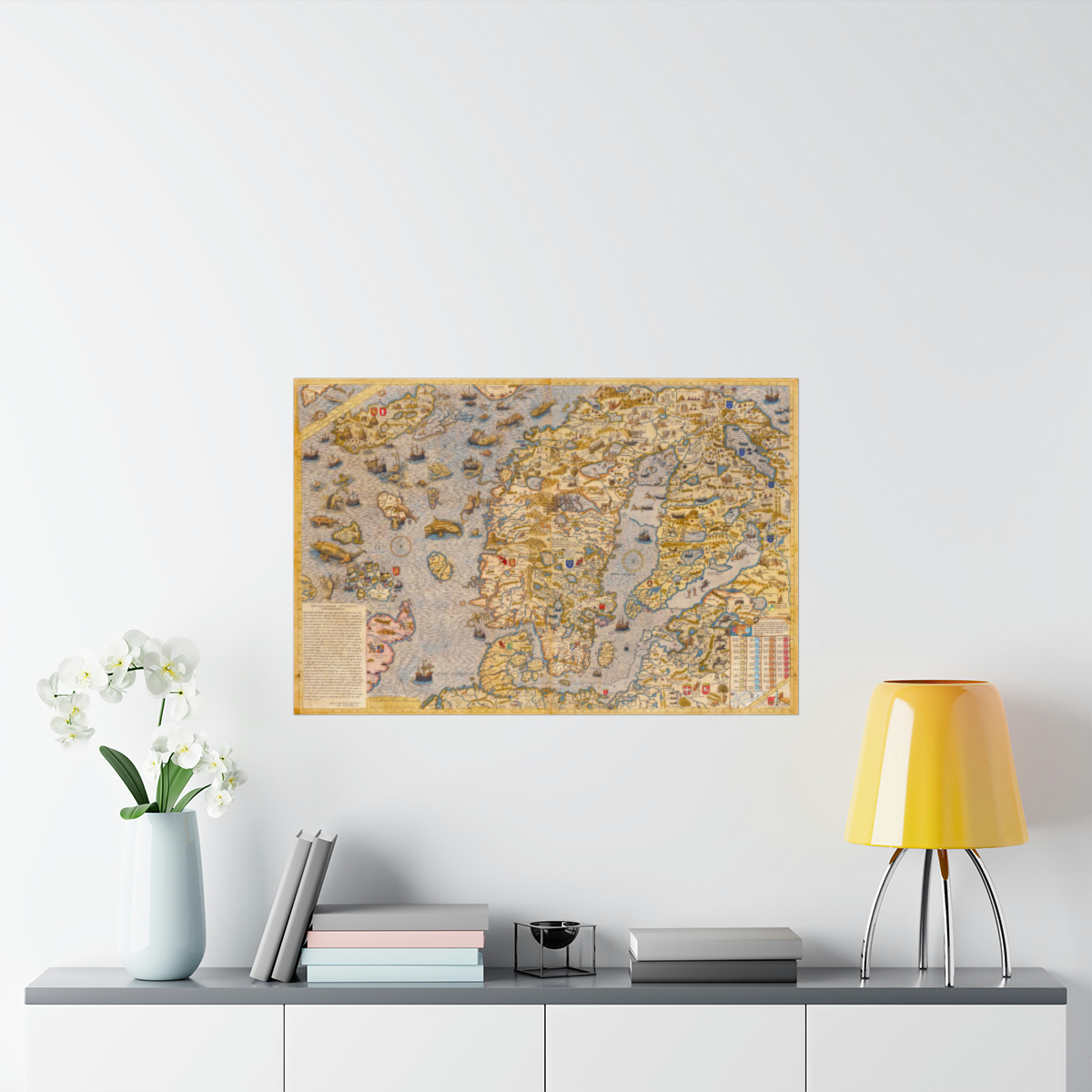
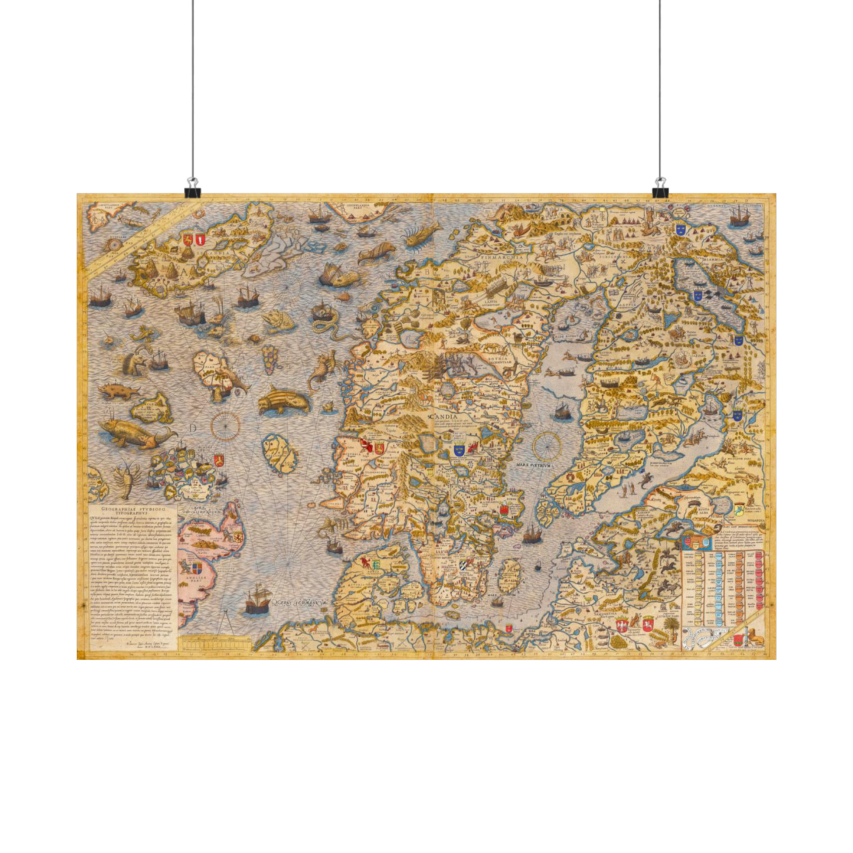


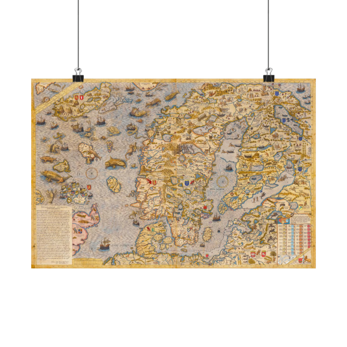


The Marina Carta (“Map of the Sea”), created by explorer and historian Olaus Magnus, is one of the first accurate maps of the Scandinavian region. It was compiled in Rome between 1527–1539 by Magnus, considered one of Scandinavia’s most prominent Catholics at the time.
The map contains information missing from many early maps of the region, and was designed for Magnus’ Historia de Gentebus Septentriolibes (Description of the Nordic People) published 15 years earlier.
The idea of the Northeast Passage is believed to have been first suggested by Olaus Magnus with the advent of this map. This is the second edition of this map, published in 1572 by Antoine Laffrey who assisted Magnus in the drawing of the map.
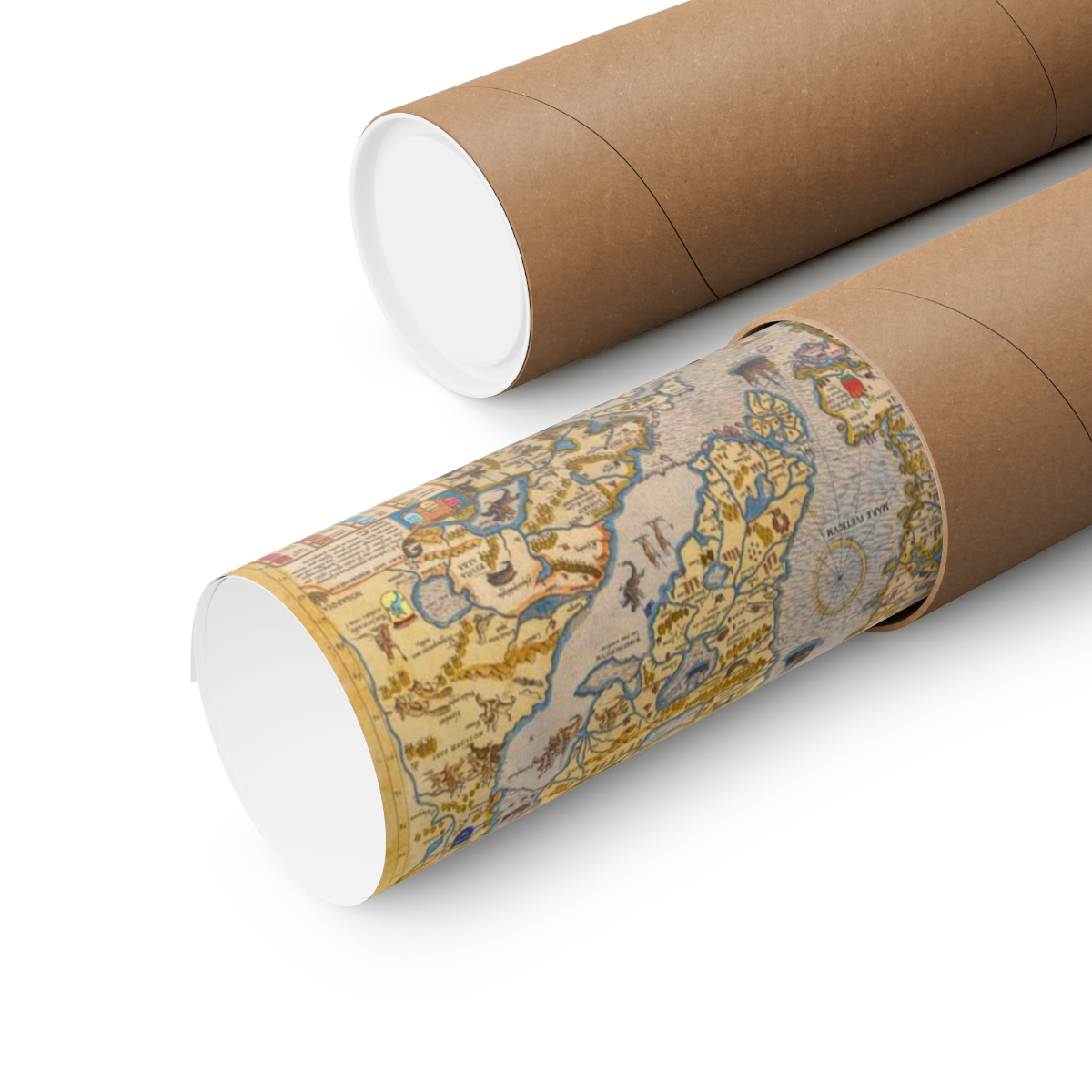
The map is printed on museum-grade paper (175gsm fine art paper), and is a stunning historical piece of decór in the larger sizes.
It’s available in multiple sizes, and each poster is printed with top-tier pigmented archival inks for excellent printing results.
– Scale 1:3,700,000
– Original resource extent: 1 map on 2 sheets joined together: copper engraving, color, 52 x 79 centimeters.
– Original resource at: National Library of Sweden in Stockholm, Sweden.
– Content in Latin.

Reviews
There are no reviews yet.